
Hidden in Plain Sight: The effort to save the markers of an Old Indian Trail in Northern Michigan
A project refurbishing more than a dozen 1940s-era trail markers is breathing new life into an old Native American pathway.
History is often hidden in plain sight, but in Wexford County, a collaborative effort is pulling the past back into the light.
Led by the Cadillac Area Visitors Bureau and guided by the blessing of the Little Traverse Bay Bands of Odawa Indians, a project refurbishing more than a dozen 1940s-era trail markers is breathing new life into an old Native American pathway.
Stretching from Cadillac to Traverse City, the 55-mile-long trail was used by the Anishnaabe people as early as the 1200s. These people formed the Three Fires Confederacy, made up of the Ojibwe, Odawa, and Potawatomi tribes.
By combining the craftsmanship of a local artist with modern GPS mapping, this project isn’t just preserving concrete markers and the remnants of a trail — it’s about strengthening the cultural and economic connection between Northern Michigan’s rural communities and their indigenous roots.
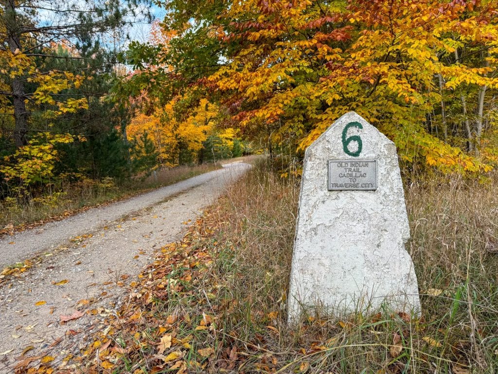
Known as the Old Indian Trail, the pathway was used for centuries by the Odawa people who inhabited the lakes, woods and hills of this northwestern corner of the lower peninsula. The trail is one of many original tribal trails that criss-crossed Michigan, some of which survive as highways today. Part of the Saginaw Trail from Toledo, Ohio, through Saginaw to Mackinac, forms the Dixie Highway, according to a study of Indian trails by Michigan State University.
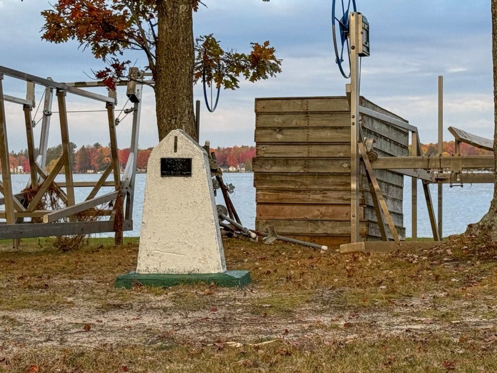
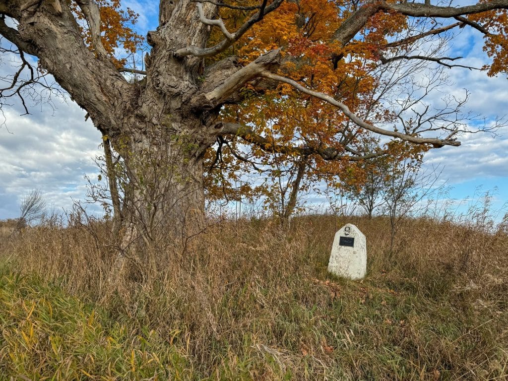
The Old Indian Trail begins on the northeastern shore of Lake Mitchell in Cadillac. Thirty-three markers have been placed along the trail, in both Wexford and Grand Traverse counties; most of them along roads. The final marker can be found at the intersection of three highways in Traverse City — at West Bay Beach.
The Cadillac Area Visitors Bureau, whose mission includes serving as stewards of the local environment and protecting and promoting “the arts, culture and history” of the community, decided to invest in the Old Indian Trail last year. The organization created a themed guide detailing GPS coordinates of the markers and a map to help visitors follow the trail.
“In recent years, there has been an increased interest from visitors requesting information and brochures, as well as wanting to visit the trail markers in person,” says Marci Hensley, who is tourism engagement manager for the Cadillac Area Visitors Bureau. “Because the materials had not been updated in quite some time, we felt it was important to refresh the information and photos. During this process, we also noticed that many of the markers were in need of repair, which aligned with our commitment to local stewardship.”
The Cadillac bureau commissioned Scott Buckmaster, a local artist and retired art teacher, to restore the markers, with the blessing of Frank Ettawageshik, former tribal chairman of the Little Traverse By Bands of Odawa Indians. Cadillac’s efforts focused only on the markers in Wexford County.
“It’s been a real honor to walk that path, to know that I was walking where thousands of people walked over ions,” says Buckmaster, a retired art teacher from Pine River Area Schools. “It was an honor to set right what time has forgotten. You walk through places that must have been all trees at one time.”
Buckmaster, who is also an assistant sexton at Maple Hill Cemetery in Cadillac, spent “long days” over three weekends restoring the trail markers. It wasn’t an easy task. Three markers were “off the beaten path quite a bit,” and required a chainsaw to cut branches and remove brush to get to them.
He could not reach two other markers. One, outside of Meauwataka, west of Cadillac, was behind a fence line and within the path of an Amish bull. Another would have required traipsing through a swampy area near the North Country Trail. “It would have required a boat or kayak or canoe to get to it,” he says.
Buckmaster found the markers in various stages of disrepair. Some had been damaged by vehicles; some were riddled with gunshots. Many were worn by weather and time. He patched, cleaned and painted them white.
It’s believed the Old Indian Trail could have been established much earlier than the 13th century. Some historical records suggest the Cadillac-Traverse City Old Indian Trail may have begun as early as 700 BC, according to the visitors bureau.
The markers in Wexford County were placed along the trail decades ago by Milo Petoskey Crosby, who moved to the region in the late 1800s. Initially, he used historical documents to walk and map the trail himself. In the 1940s, he placed 14 stone markers along the trail, beginning at Lake Mitchell.
His work was continued by historian James Comp and retired teacher Ed Babcock, who added five markers along the trail. In 1987, the Little Traverse Bay Bands of Odawa Indians and the Grand Traverse Sesquicentennial placed the final 14 markers, connecting to the West Bay in Traverse City.
With 17 of the 19 markers repaired, it’s possible for travelers to loosely follow the trail — by car — from Lake Mitchell to Traverse City. Hiking, however, is not advised because most of the trail crosses private property.
The Cadillac visitors bureau is in touch with the Anishinaabe Cultural Marker Project to inquire about helping restore the northern leg of the trail in Grand Traverse County. Buckmaster also hopes to return in the spring and repair the ones he couldn’t get to.
Readers can see the “before” and “after” on many of the markers in this blog post by the Cadillac bureau.
“These updates were completed as part of a collaborative destination development effort to help support and preserve an important tourism asset in our area,” Cadillac’s Hensley says.
Related Articles
The Art of the Harvest: Cultivating community through farming and creativity
Traverse City-based Crosshatch has been working since 2005 to create thriving rural communities rooted in vibrant culture and strong farming economies.
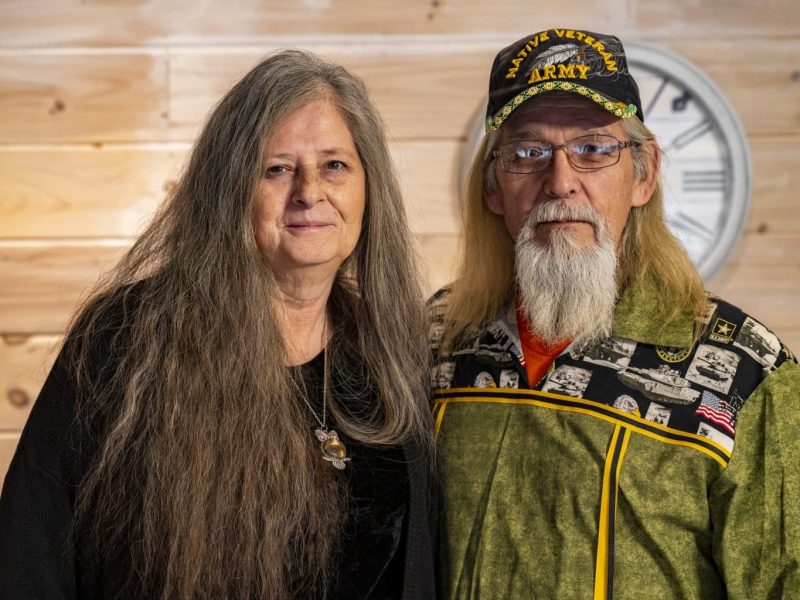
Native Blend brings indigenous medicine to modern healing
An Indigenous and veteran-owned herbal company based in Port Huron, Native Blend focuses on the philosophy that medicine should serve the community.
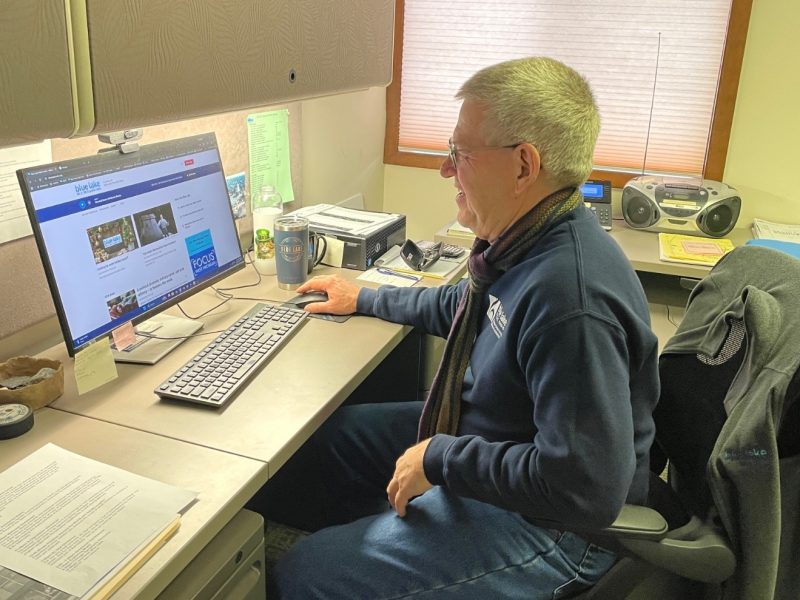
Rural radio station becomes lifeline for West Michigan’s performing arts
Broadcasting from the woods, Blue Lake Radio connects listeners, orchestras, and venues while navigating financial challenges and a shift away from news programming.


